Miami Circle, Miami, Florida
GPR Study 2004, Reverse Ground Truth Study
Abstract and Figures

Read Full Paper
Copyright © 2004 Mnemotrix Systems, Inc.

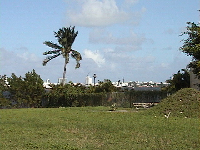
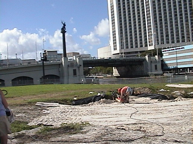
Miami Circle at Brickell Point

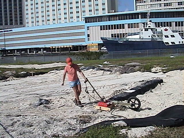
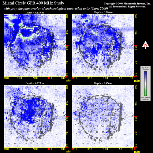
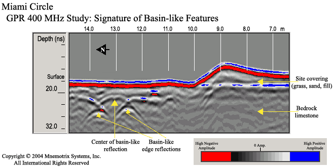
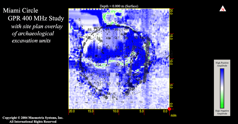
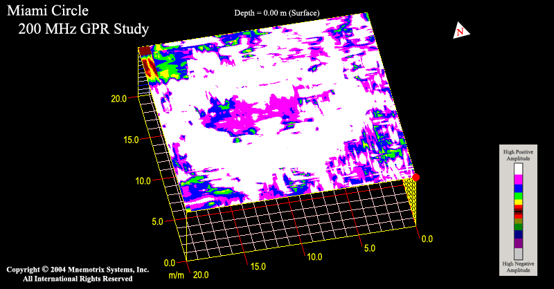
Imaging Sub-surface Features of the Miami Circle with Ground Penetrating Radar

Jessie Pincus, Robert S. Carr, Dean Whitman

Abstract for paper presented at University of Arizona, Sept 2004

Ground Penetrating Radar (GPR) is a high-resolution near-surface geophysical technique that has proven to be useful for identifying archaeological remains non-invasively. While many GPR studies have been done, the results often consist only of anomaly maps, rather than identification of features. The Miami Circle has had a long history of documentation, offering an unusual opportunity for a reverse ground-truth study. By creating a catalog of GPR images of identified archaeological features, archaeologists entering the emerging sub-field of archaeogeophysics will be able to more easily identify sub-surface features at their own sites, making the possibility of GPR capability more useful.

The feature is a 38-foot diameter circle on the bank of the Miami River in Miami, Florida, known as The Miami Circle. The Circle consists of postholes and basin-like features cut into the limestone bedrock and is a significant element in the understanding of prehistoric architectural features in southern Florida. In 1998 salvage archaeological investigations began here that led to the discovery, identification, excavation, and preservation of what is now understood to be the center of a Tequesta polity, ca A.D. 1-1000. A GPR study of the Miami Circle was conducted in 2004, following the protective covering of the site and is presented where shallow anomalies evident in GPR imaging could be directly correlated to their known archaeological counterparts. A combination of low and high frequency antennas was used for comparative studies for high-resolution imaging and analysis of the underlying geologic structure using 3D visualizations and animated depth views. A vital understanding of practicality and manueverability with GPR data was attained and is discussed.

GPR Study using GSSI System with 400 MHz antenna
400 MHz Antenna GPR Study 400 MHz Antenna GPR Study

Excerpted Depth Slices from 400 MHz GPR Study superimposed
on Archaeological Site Overlay of Excavated Post and Basin Holes
Figure 3 Animation Excerpts

GPR 2D Signature of Basin
Figure 4 Basin-like Feature

GPR 2D Signature of Solution Hole
Figure 6 Solution Hole Feature

Orientation of Features within 3D Grid
Figure 5 Orientation Map

Offset Phenomenon Regarding Location of Features
Figure 7 Phenomenon of Offset

3D Animation of High Resolutiion 400 MHz
depth slices showing post holes and features as contacted
3D Animation of High Resolution 400 MHz GPR Study at Miami Circle

3D Animation of High Resolution 400 MHz Study
Superimposed on Excavated Site Feature Overlay
3D Animation with Archaeological Site Map Overlay on 400 MHz GPR Study at Miami Circle

3D Animation of 200 MHz Deeper Geological View Depth Slices
3D Animation of 200 MHz GPR Study at Miami Circle

Read Full Paper
Copyright © 2004 Mnemotrix Systems, Inc.