Environmental Activities with Schools:
2006 Update
In 2006 the ADASR project continued its work with local schools as always in
the area of Nitzana, and this year also at Sede Boqer, and the Bedouin school of
El Mustaqbal. Our focus was on diverse activities such as GPS and mapping, runoff harvesting, archaeology of wells and a nearby monastery,
farm maintenance, geomorphology, camping, and the Tuleilat el Anab.
Sede Boqer
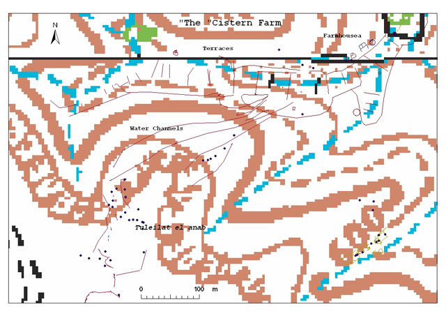
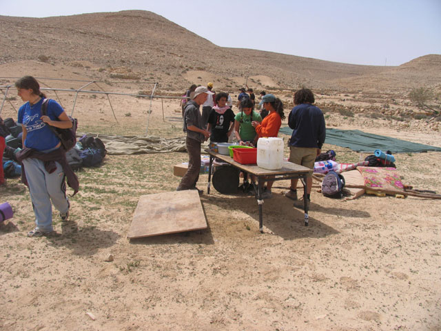
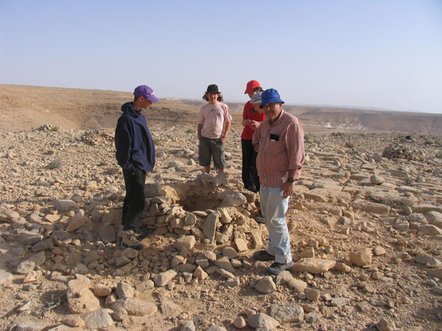
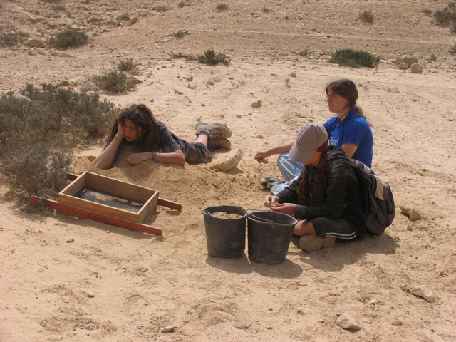
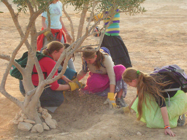
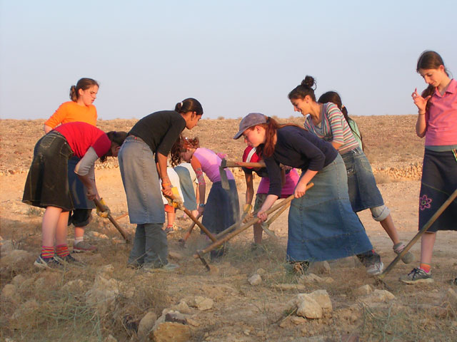
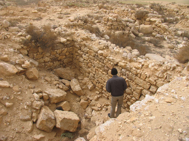
The activities with the environmental school of Sede Boqer in the year 2006
continued at the ancient farm from the Byzantine and Early Moslem periods
(6-8th Centuries C. E.) near Avdat. Field work focused on intensive
gathering of all possible information connected to understand the
functioning of the farm:
- High resolution mapping of all the farm's elements with GPS.
- Survey and excavations in several tuleilat el anab.
- Geomorphological digs in some agricultural terraces.
- The field activity took place March 18-22 including camping in the farm.
|
Click for More Images, Descriptions, and Closeups
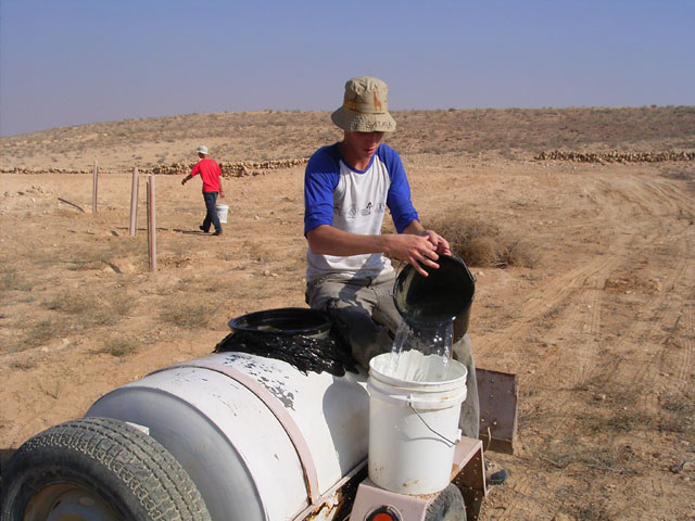
Nitzana
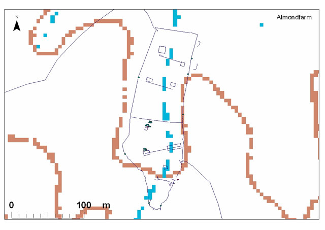
The activities at Nitzana in 2006 focused on maintaining the JNF
plantation at the ancient farm, and preparing one more farm for plantation
- the Almond Farm. The preparation included a Geomorphological dig and
cleaning the ancient agricultural terraces. The planting is to be carried
out by the JNF. The Almond Farm was excavated during the 1980's in the frame
of Tel Nitzana excavations on behalf of the Jewish Agency and Ben Gurion
University. The Almond Farm is an ancient runoff farm from the 6-8th
Centuries C. E. and the name is given since there is an old almond tree
planted by the Bedouins several decades ago. The tree is evidence of the
continued functioning of the ancient farm in terms of water collection.
The tree was studied recently in the winter months of 2005-2006 by Julie
Goldenetz from the University of Arizona.
Click for More Images, Descriptions, and Closeups
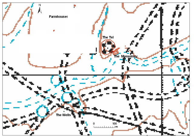
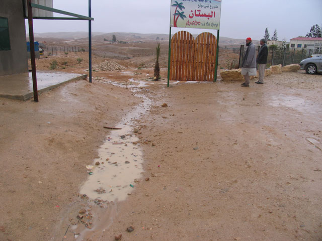
El Mustaqbal
El Mustaqbal is a Bedouin school located about 10 km southeast to Beer Sheva.
The school maintains a small garden (Bustan) based on rain water harvesting.
In the frame of collaboration with the ADASR project a plan was set up to
focus on studying the ancient desert agriculture in the direction of the
ancient Bedouin tradition to maintain small plantation based on runoff
harvesting in ancient systems. The location of the work was found in the
vicinity of Tel Masos, a site excavated during the 1970's by Fritz and
Kempinsky. The site consists of a 12-11 B. C. Tel, a Nestorian monastery
from the 6-8th Century C. E. and several wells. In the frame of the ADASR
project, a few farmhouses from the monastery's period were found nearby.
Click for More Images, Descriptions, and Closeups
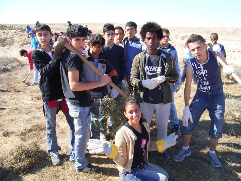
High Resolution Mapping with GPS
Included in the 2006 activities was teaching the students to use
GPS to create high resolution maps of the areas that were being
studied.
Click for Closeup & Detail