ADASR - Ancient Desert Agriculture Systems Revived - click for slide show ADASR - Ancient Desert Agriculture Systems Revived - click for slide show

Avdat Ancient Farm Hydrological Study

Hydrological Study of Ancient Farm at Avdat

As an MA candidate in desert studies at Hebrew University, during 2005 - 2006 Eli Ashkenazi studied issues of hydrology regarding an ancient farm at Avdat. In the frame of collaboration with the ADASR project Eli provided a detailed 
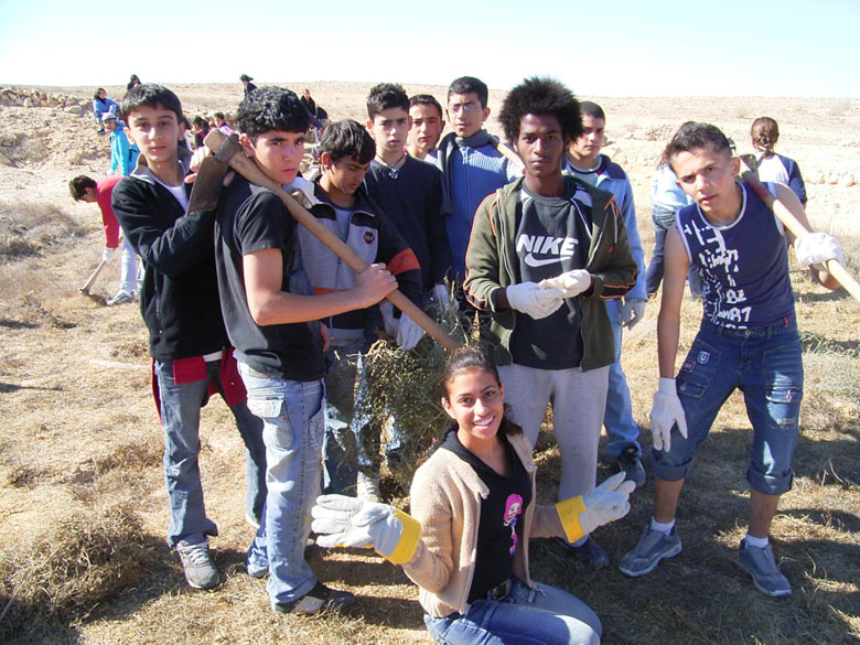
map of the farm, with a key to many explanatory photographs of the ancient agriculture. The farmhouses of that farm were excavated in the frame of collaboration between the ADASR project and Sede Boqer high school. (See annual activities linked from the home page). The map key and photos were put into a GIS format by Mnemotrix Israel, Ltd.
Hydrological Study of Ancient Farm at Avdat

Move your mouse over the map to see the marked features.
Click map hotspots for photos of what was found at that spot.

Click here to see all photos at once

Terrace Terrace Water Entrance Installation Stone Piles Terrace Terrace Terrace Terrace Terrace Terrace Terrace Terrace Terrace Terrace Structure Water Channel Water Entrance Threshing Floor Tuleilat el anab Water Entrance Wall Stone Circle Water Entrance Water Entrance Structure Structure Structure Water Entrance Water Channel Water Entrance Water Channel Tuleilat el anab Water Cistern Wall Water Channel Wall Ancient Farm at Avdat
Geophysical Support Services, Smart GIS Technology, and website design,
hosting, and maintenance are provided by Mnemotrix Systems, Inc.
Mnemotrix Systems, Inc.